AAP FactCheck Investigation: Is the rate of land clearing in Australia increasing?
The Statement
“Here in Australia we’re clearing land faster than we used to, not slower.”
Waleed Aly, academic and broadcaster, December 25, 2020.
The Analysis
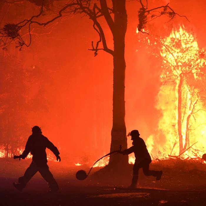
Australia is clearing trees at an increasing rate and the country is on track to lose three million hectares of forest by the end of the decade, according to broadcaster and academic Waleed Aly.
The Monash University politics lecturer and writer, who is also a presenter on Ten’s The Project, wrote a column for The Sydney Morning Herald which argued the destruction of forests around the world could increase the frequency of deadly viruses. This was because as habitats were destroyed humans were increasingly coming into contact with virus-carrying animals, he said.
Dr Aly added that Australia had one of the world’s highest rates of deforestation – and the situation was getting worse.
“Here in Australia we’re clearing land faster than we used to, not slower,” he wrote.
“The World Wildlife Foundation lists 11 ‘deforestation fronts’, which will account for 80 per cent of the world’s deforestation between 2010 and 2030. Only one of them is in a developed country, and it’s a massive area spanning New South Wales and Queensland.
“We’re on track to lose three million hectares of forest by 2030 in Australia.”
AAP FactCheck examined Dr Aly’s statement that the rate of land clearing is increasing in Australia.
When contacted, he said the statement was referring to “the acceleration in land clearing (especially in Queensland) that happened from around 2011 until around 2018”.
He cited a 2018 article in the Guardian, titled ‘Global deforestation hotspot’: 3m hectares of Australian forest to be lost in 15 years. The article said this was based on analysis by WWF (formerly World Wide Fund for Nature) indicating land clearing in Queensland increased by a third between 2014-15 and 2015-16, with an overall increase recorded between 2010 and 2016.
Dr Aly also cited a report on land clearing by the Climate Council which showed land clearing in Queensland declined when more restrictive laws were introduced in 2000, and then accelerated when regulations were weakened in 2013 (figure 1, page 4).
Based on the annual Statewide Landcover and Trees Study (SLATS) for Queensland, the report showed the clearing of native vegetation declined steadily from 2002-03 to 2009-10, however it then increased steadily every year to 2015-16, the most recent figures included (figure 1, page 4).
Dr Aly also cited an article on land clearing in the ABC from December 17, 2020 which included figures for land clearing in each state based on the government’s National Greenhouse Accounts.
It said logging had increased in some states and declined in others between 2010 and 2018, although it noted there had been a net rise in overall tree cover.
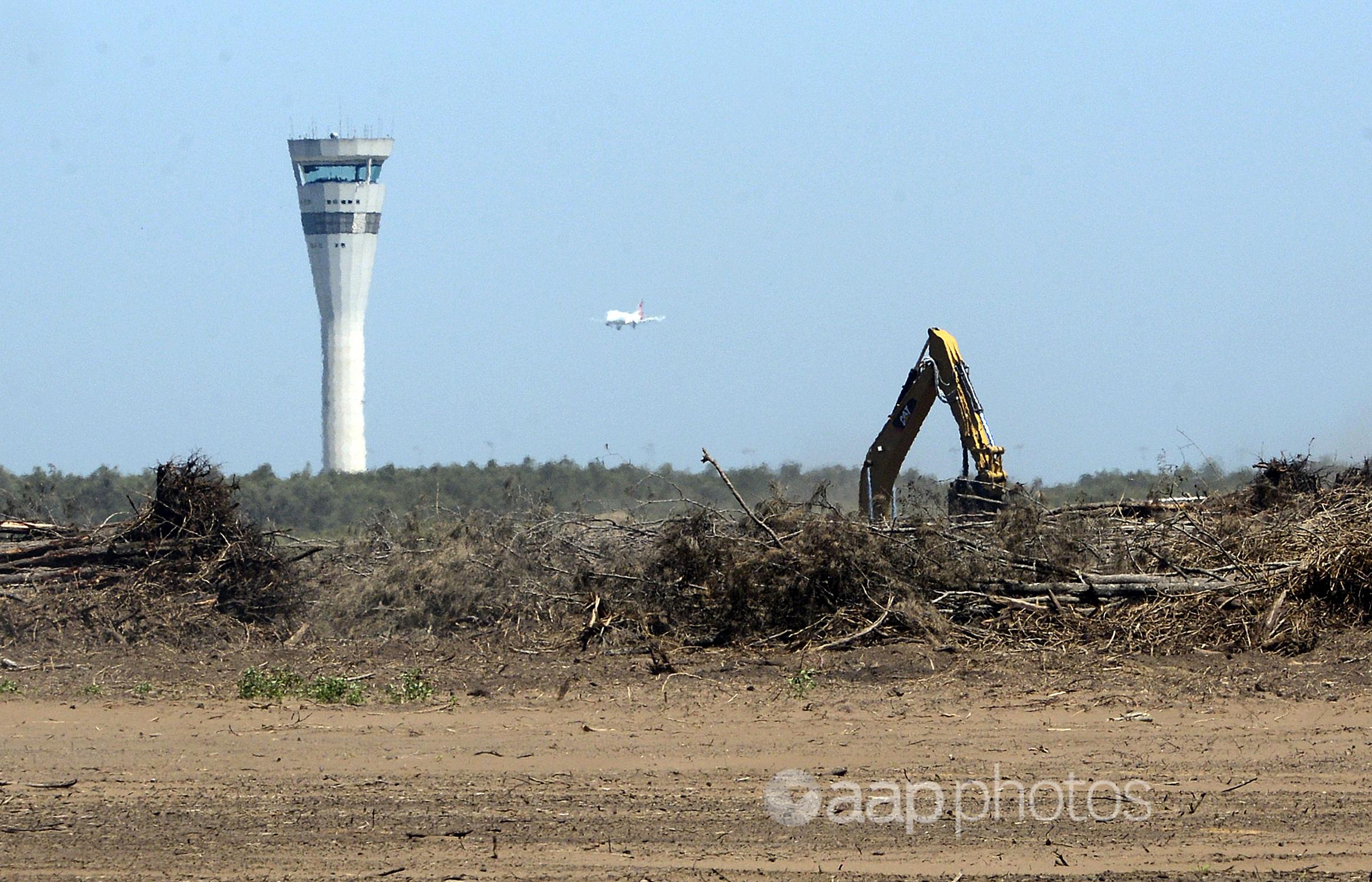
AAP FactCheck also analysed official figures for land clearing and found conflicting information.
Land clearing is monitored at a national level but with a focus on how land-use changes impact on greenhouse gas emissions, whereas state-based SLATS studies are designed to detect land clearing.
The national monitoring shows clearing has declined in recent years, while the state-level monitoring shows clearing has increased.
The latest federal government figures cover the period between 1990 and 2018 and show the amount of land cleared in both primary and regrowth forests has fluctuated from year to year but decreased overall (Table 1a).
Across all states, land clearing declined between 1990 and 1995, from 922,300ha to 474,200ha, before steadily increasing again to a peak of 855,900ha in 2005. Clearing then declined to 377,700ha in 2011 and has remained at a fairly consistent level since, with 369,900ha cleared in 2018, according to the figures.
If this rate continued, Australia would have cleared 3.69 million hectares of forest between 2020 and 2030.
The latest National Greenhouse Gas Inventory report, released in May 2020, said “since 2008, the increase in forest cover from new and emerging forests more than offset losses from an increase in forest land clearing activity”.
However, detailed figures show there were net decreases in forest cover in 2017 and 2018 after eight years of net gains (Table 1b).
Based on these accounts, the majority of land clearing took place in Queensland and NSW – 69 per cent and 19 per cent respectively.
University of New South Wales public sector management lecturer Megan Evans, who has written multiple papers on deforestation and land clearing in Australia, said the SLATS figures captured more clearing activity than the National Greenhouse Gas Inventory reports.
“The national inventory is designed to estimate greenhouse gas emissions on a quarterly to annual basis, whereas the state systems have been developed to detect clearing events almost in real time, as a compliance and enforcement system,” Dr Evans told AAP FactCheck.
She said the two systems also used different definitions when measuring changes in forest and vegetation cover and the SLATS system was more comprehensive.
Dr Evans said NSW data showed land clearing had increased since the Biodiversity Conservation Act, a 2016 law liberalising land clearing regulations, was introduced.
In Queensland, laws were passed in 2018 that were expected to reduce land clearing, however current data was only available up until that year, she said.
In NSW, SLATS figures showed a significant increase in land-clearing rates since 2010, with the figures nearly double the 2009-2015 average in each of 2016, 2017 and 2018 (figure 1).
An accompanying spreadsheet showed land clearing increased from 33,200ha in 2014 to 60,800 in 2018 (Tab 1).
The report noted that the satellite imagery used to monitor land clearing changed in 2015, but it did not state whether this explained the higher level of land clearance recorded (page 14).
In Queensland, land clearing declined consistently between 2002-03 and 2009-10 (figure 1), from 552,715ha to 83,188ha (see Remnant Status table here). However since then it has increased significantly again, reaching 392,486ha cleared in 2017-18.
Other states do not appear to regularly report on land clearance or produce SLATS analyses.
The government’s Greenhouse Gas Inventory report notes the discrepancy between the federal government figures and the SLATS figures (page xxvi), saying the reason for the difference in the data was being investigated.
Anita Cosgrove is a former researcher for the University of Queensland’s Centre for Biodiversity and Conservation Science who has co-authored multiple papers on land clearing and now works as Queensland campaign manager for conservation organisation, the Wilderness Society.
She told AAP FactCheck the greenhouse gas inventory was designed to calculate greenhouse gas emissions and was “not a reliable indicator of land clearing rates”.
“In contrast, the SLATS data is specifically designed to estimate changes to all woody vegetation, i.e. both forest and bushland,” Dr Cosgrove said.
“SLATS is currently our most reliable measure of deforestation and land clearing rates. Unfortunately, it does not provide national data.”
She said the SLATS figures showed land clearing declined in Queensland after the Beattie Government introduced laws to regulate broadscale land clearing in 2004, and increased when restrictions on clearing were liberalised in 2013.
Stronger regulations were introduced in the state in 2018, but she said data was not yet available to establish whether these had an impact.
The Verdict
AAP FactCheck was unable to determine if land clearing has been increasing in Australia due to the lack of comprehensive national data.
While government figures compiled as part of its greenhouse gas reporting show land clearing has declined, the most recent state figures for NSW and Queensland show land clearing increased between 2010 and 2018. The two states make up the bulk of land clearing in the country.
Experts say the state figures give the most reliable picture of land clearing, however they only capture the period until 2018 and do not properly gauge the impact of recent law changes in both states. Comparable figures are unavailable for the other states.
Ambiguous – It is not possible to determine the veracity of the claim.
Updated Monday, January 11, 2020 14.01 AEDT: Megan Evans quote corrected to state that the SLATS figures captured more clearing activity. A previous version incorrectly stated that she believed these figures better reflected land-use changes.
* Editor’s note: AAP FactCheck has expanded its ability to fact-check environmental issues with the support of the Australian Conservation Foundation. AAP FactCheck retains full editorial independence in this project and continues to apply the rigorous standards required for accredited members of the International Fact-Checking Network.
All information, text and images included on the AAP Websites is for personal use only and may not be re-written, copied, re-sold or re-distributed, framed, linked, shared onto social media or otherwise used whether for compensation of any kind or not, unless you have the prior written permission of AAP. For more information, please refer to our standard terms and conditions.